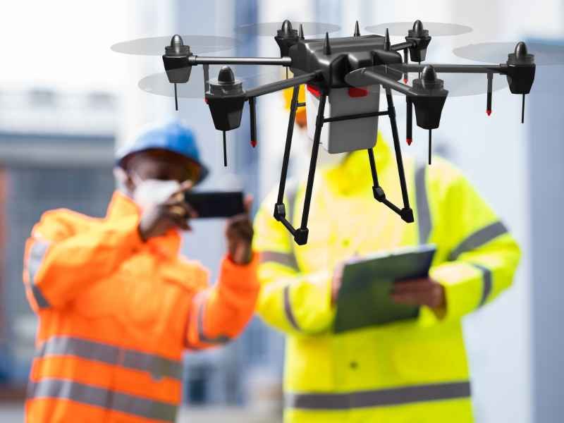
Drone Survey
Drone Survey
We use drone-based aerial data collection, where suitable and permitted, to support large-area surveys, site documentation, and terrain mapping.
- High-resolution aerial imagery
- Orthomosaic map generation
- Digital Surface Models (DSM)
- Digital Terrain Models (DTM), where suitable
- Contour generation and elevation mapping
- Stockpile and earthwork volume estimation
- Industrial, infrastructure, and land development surveys