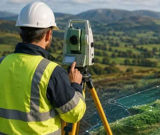
Topographical & Contour Survey
Topographical & Contour Survey
We capture ground levels, terrain features, and existing site conditions to produce detailed topographical plans for engineering design, construction, and land development.
Services include:
- Spot levels and reduced levels (RLs)
- Contour generation at specified intervals
- Existing roads, buildings, utilities, and structures
- Natural features, drainage channels, and nallahs
- Digital terrain models and elevation drawings
- Site development and earthwork planning support